Mapping Britain's paths in OpenStreetMap
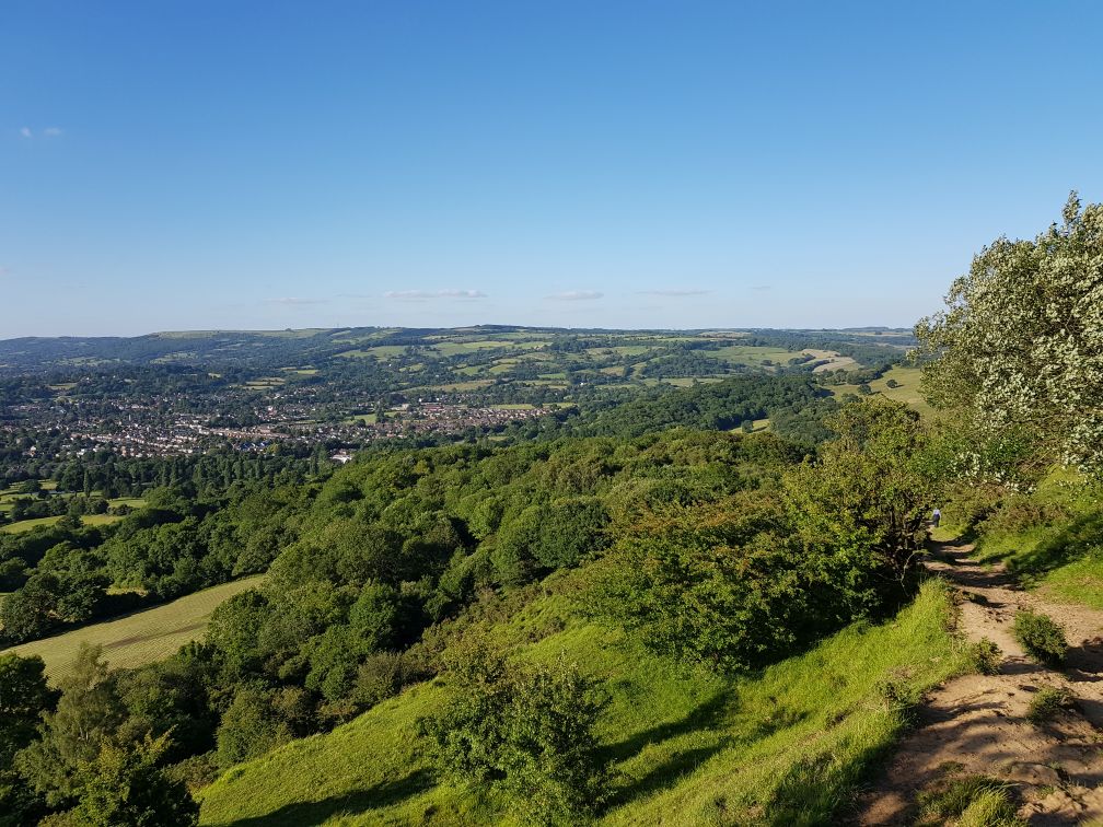
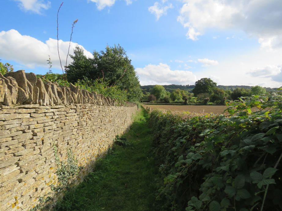
Public footpath near Charlton Kings Common, Gloucestershire
Britain's brilliant paths
Britain has thousands of miles of public footpaths, bridleways and
restricted byways. This wonderful network of paths lets people explore
the countryside, exercise, or just take shortcuts through towns, cities
and villages.
By paths, I mean public rights of way which have developed through
many years of regular use. These paths enjoy many of the same
protections as roads. Everyone has the right to walk on these paths. On
bridleways, you can cycle or ride a horse too.
Sometimes it's misleading to refer to these rights of way as paths,
because many are just rights of way, i.e. a right to walk to pass along
a particular route. Often there is no visible path or track on the
land, but nevertheless "path" is still commonly used.
Just how many of these paths are there?
A lot. In England alone there are at least 117,000 miles
(188,000 km)! In my adoptive home of Gloucestershire, there are 3,509
miles (5,647 km) of public rights of way. That's more than the entire
road network (excluding trunk roads and motorways) in Gloucestershire,
which stands at 3,200 miles.
Sometimes it's hard to really grasp and understand such long
distances. Natural England is currently working on England
Coast Path, a 2,700 mile public path around all of England's
coast. Once completed, this path, hailed by the National Trust as "the
most significant rights of way project for a generation", will become
the longest national trail in Britain, and the world's longest
continuous coastal path.
The path network in Gloucestershire alone is around 30% longer than
the entire coastline of England—and that's particularly striking
when you consider that several of the already open sections of England
Coast Path follow rivers and estuaries miles inland.
Why are these paths so important?
These paths developed over many years when walking was the main (or
only) form of transport for many people. Many of us now live
increasingly sedentary lifestyles, with serious consequences for our
health. There's overwhelming evidence that walking is a good form of
exercise, with many benefits.
It's about more than just exercise too. It's about rediscovering
simple pleasures by connecting with your local area and community,
admiring the scenery and spotting wildlife.
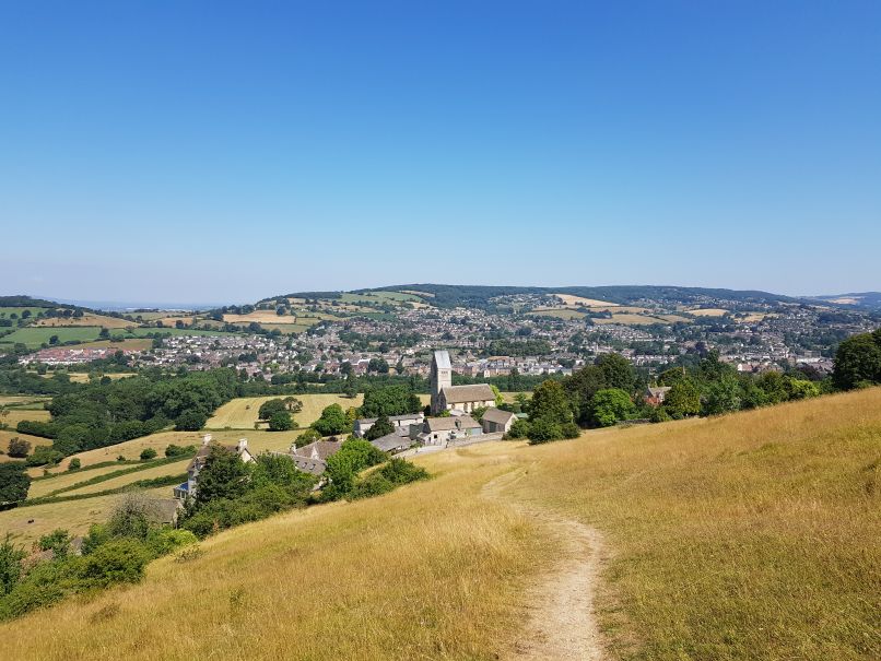
Public footpath on Selsley Common (part of the
Cotswold Way national trail), near Stroud, Gloucestershire
Maps
Many of these footpaths, bridleways and byways aren't properly
mapped, even on Ordnance Survey maps.
In England and Wales, local authorities are responsible for
producing a "definitive map" with details of all public rights of way
in their areas. Through my experience in Gloucestershire I've
realised that although legally definitive, the definitive map often
doesn't match what's on the ground. Many of the rights of way shown are
in slightly different places on the ground. Often, only a handful of
points are used to represent paths, removing curves and bends.
If rights of way can't be found, they won't be used. If they aren't
used, they may well get overgrown and eventually disappear. We have a
responsibility to help maintain this fantastic resource for now and
generations to come.
Mapping rights of way in OpenStreetMap
As an open mapping project, OpenStreetMap is the perfect place to
map public rights of way.
I use the Android version of OsmAnd, an OpenStreetMap-based map app,
for finding public footpaths to survey.
I've ended up with a way of mapping public rights of way which suits
me, but it isn't the easiest to set up. You might find it easier to use
Nick Whitelegg's Map the
Paths site to find rights of way which aren't on
OpenStreetMap.
Here's a summary of how I map:
- I downloaded all public rights of way in Gloucestershire from
Rowmaps. I split the huge KML
file into several smaller GPX files, each containing only one type of
right of way (footpaths in one file, bridleways in another, ...).
- I copied the GPX files to OsmAnd's tracks directory on my phone,
and configured OsmAnd to display them.
- Now I can clearly see all public rights of way near me,
colour-coded. Zooming in lets me see which ones aren't on
OpenStreetMap, so I target my surveying and editing
appropriately.
Some more details
Getting council right of way data
If your council has released its public right of way data, it's
probably on Rowmaps—check
and download the KML data.
Split the data and convert it to GPX
OsmAnd doesn't support KML files, so you need to convert the files
to GPX. It's a good idea to split the files into multiple smaller ones
too, particularly if your phone isn't very powerful.
You can use my Perl script, split_kml.pl,
to split the KML files from Rowmaps into smaller files, which you can
then convert to GPX using GPS
Visualizer or other tools.
I recommend adding colours to your GPX files. See instructions in
the embedded documentation for split_kml.pl.
Copy the GPX files to your phone
There are several ways to do this: either directly from your
computer (with your phone connected via USB), or using a cloud hosting
service such as Dropbox.
Make sure you put the files in OsmAnd's tracks directory. If you're
using an SD card, the full path will be
Android/data/net.osmand.plus/files/tracks.
Display the GPX files in OsmAnd
Select "My Places" from the main menu, and then select the "Tracks"
tab. Tap the three dots button next to the track you want to show, and
select "Show on map".
If everything goes according to plan, you should end up with lots of
additional lines shown on your map:
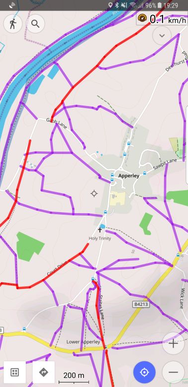
OsmAnd showing GPX data representing public rights
of way
As you can see, in this area around the village of Apperley,
Gloucestershire, there are still plenty of rights of way to add
to the map.
This screenshot also shows how useful colour-coding is. Public
footpaths are shown in purple, and bridleways are shown in red.
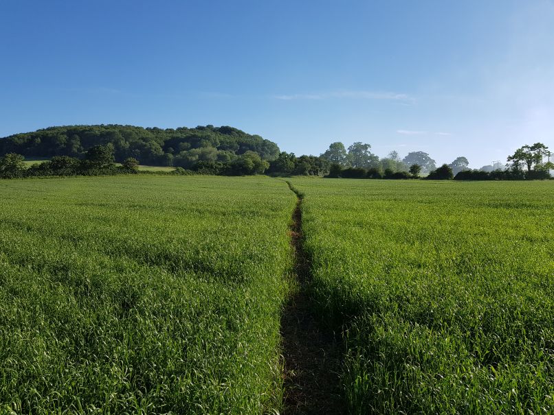
Start surveying!
Start simple. Find a short, preferably completely straight unmapped
path near you. Ideally the path should cross flat, open land and should
have no buildings alongside it. This will help you get an accurate GPS
trace.
Here's the first path I added
to OpenStreetMap:
Public footpath marker on Queenwood Grove for the
first path I added to OpenStreetMap
Public footpath between Queenwood Grove and Mill
Lane
Another view of the path, taken on a different
day
It's a short (about 100 metres) path running between two lanes on
the edge of Prestbury on the outskirts of Cheltenham. This path appears
on out of copyright Ordnance Survey maps from over 100 years ago:
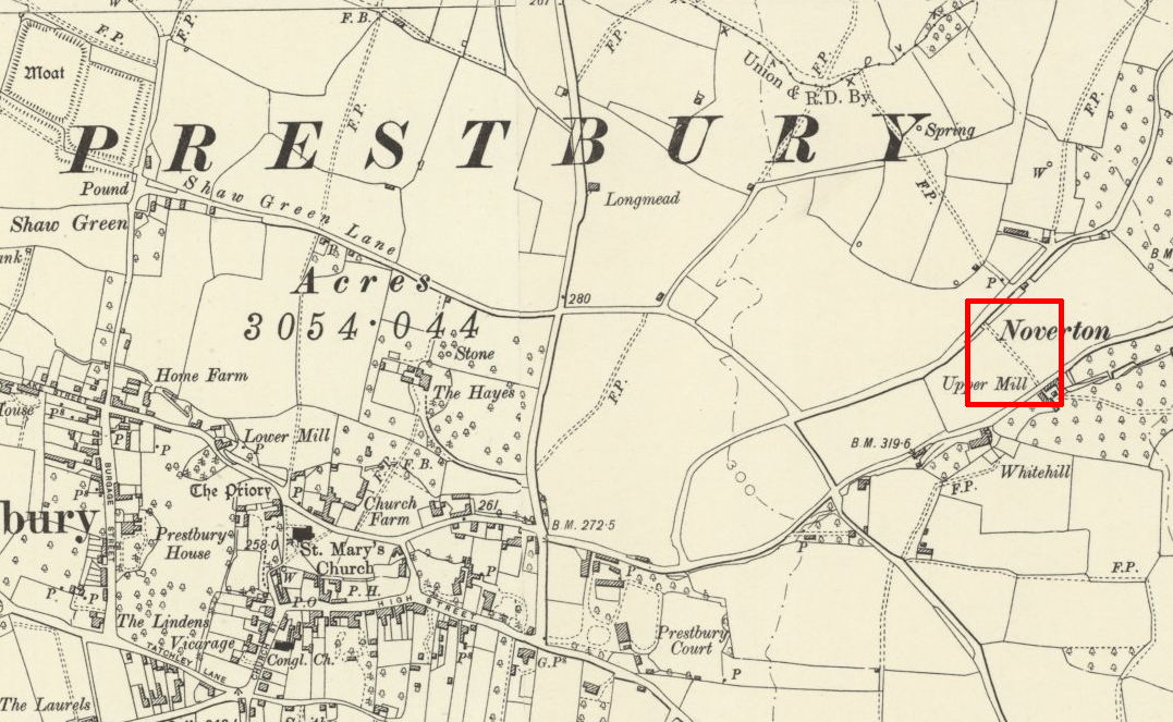
Ordnance Survey Six Inch map (1888-1913) showing the
public footpath I added to OpenStreetMap (image courtesy of National Library of Scotland)
Even adding short paths like this greatly improves the map. It
reduces unpleasant and potentially dangerous walking along roads, and
can help provide better routes.
What would the people who surveyed this path so long ago think about
the state of mapping today? In those days it would have been
unthinkable that we could carry detailed maps for the entire world in
our pocket, and quickly pinpoint our location almost anywhere on
earth's surface to within 5 metres.
Once you start building confidence, you can tackle more complex
paths. Walking the same path multiple times is good, and often it's
helpful to map "spine" paths first, and then map the "spurs" or paths
going off them.
Adding paths to OpenStreetMap
Remember to set the designation
tag for your paths.
An important point...
You might be tempted to somehow import council public right of way
data into OpenStreetMap directly. Even if the license allowed this
(maybe it does, but I'm no lawyer), this is a bad idea, for several
reasons:
- On the ground, paths often don't exactly match rights of way.
- Council data maps the rights of way themselves, not what type of
ground the rights of way travel over. For example, a path might start
on a road or lane and then cross a field. This can't be determined
from council data.
- Council data doesn't include gates, stiles or other barriers.
Adding these to OpenStreetMap helps people who are less mobile.
- Rights of way in council data often don't connect to roads and
paths in OpenStreetMap. Having ways in OpenStreetMap connect is
crucial for proper routing. If ways aren't connected, routing
software can't provide proper routes.
Ground surveys are essential. That shouldn't fill you with dread. So
many interesting places are just waiting to be discovered, and it's
a great opportunity to improve your fitness, health and happiness, as
well as to help others! Join in!
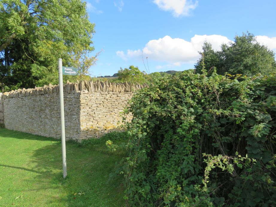
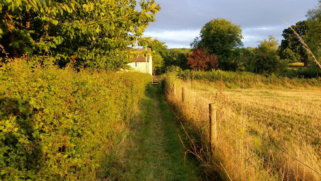
Public footpath near Prescott, Gloucestershire
© 2018 Nick Johnston. Feel free to use this,
but please credit me.